Reality Capture & Spatial Survey
Measure what exists.
From individual objects to complete environments, we create precise spatial records that become the ground truth for every stage that follows.
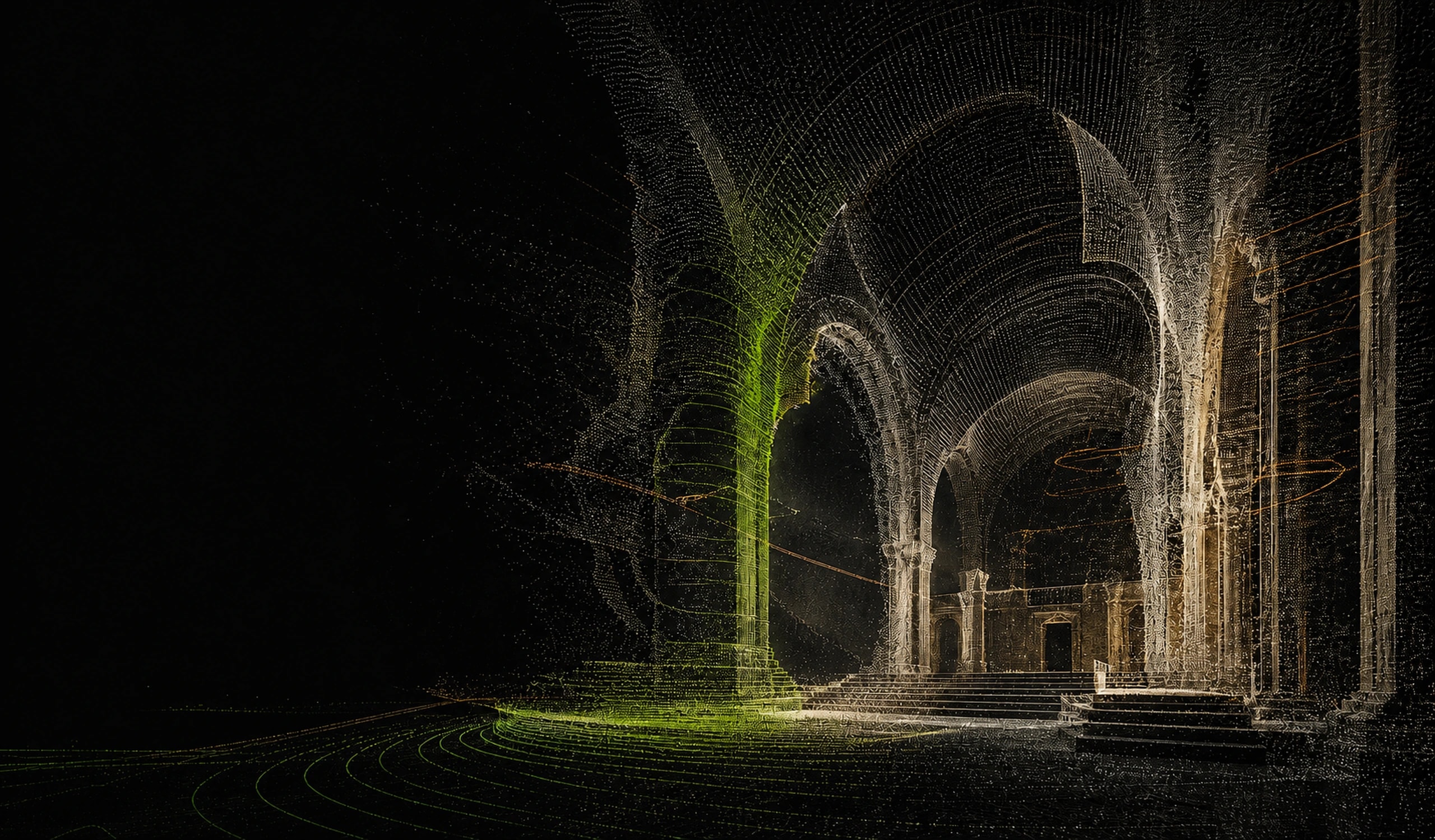
Spatial capture & digital production
We capture places with precision, rebuild them as intelligent spatial data, and turn them into experiences people can explore.
Built for architecture, heritage, film, culture, and every project that needs a more useful copy of reality.
CAPTURE → MODEL → EXPERIENCE
01 / CAPABILITIES
Our work moves from accurate field capture to useful digital models and, finally, to experiences built for real audiences.
Measure what exists.
From individual objects to complete environments, we create precise spatial records that become the ground truth for every stage that follows.
Make the data useful.
We transform raw capture into structured digital twins, architectural models, and documentation teams can design, conserve, and make decisions from.
Let people step inside.
Photoreal reconstruction, visualization, and interactive spatial experiences that make complex places immediate, understandable, and memorable.
Service detail
Engage us for a single specialist output or an end-to-end spatial production pipeline. We shape the method around the decisions, audiences, and formats your project needs.
CONCEPTUAL CAPABILITY RENDER
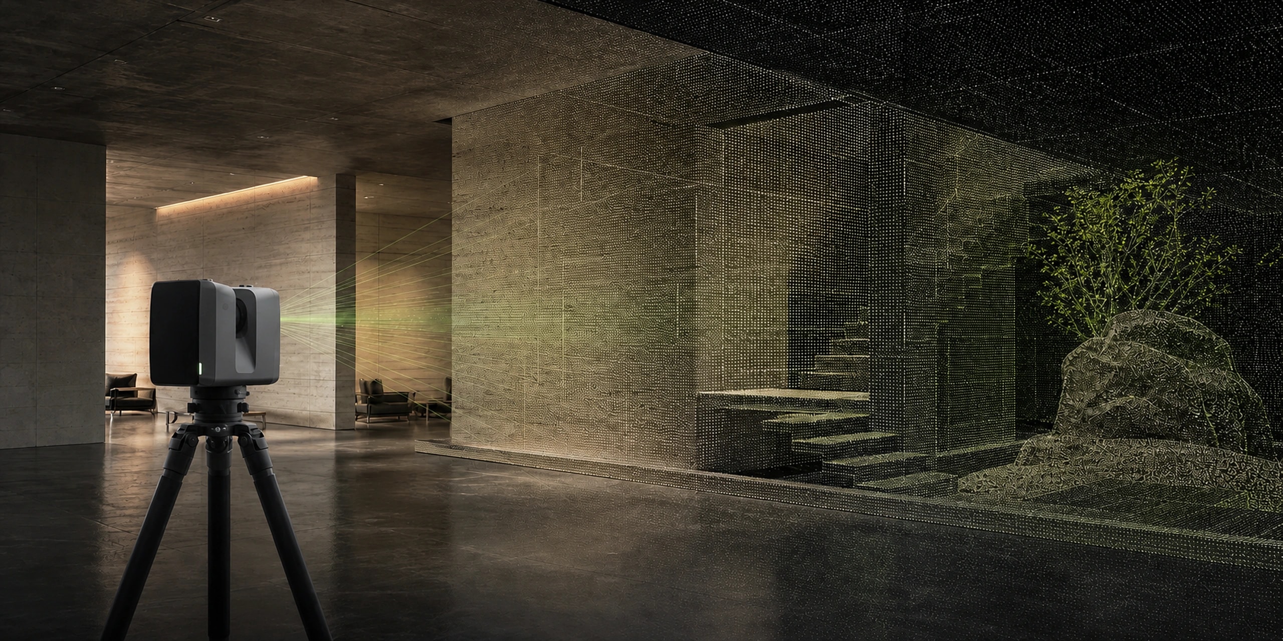
01 / Reality capture
Millimetre-accurate capture of any space, any scale.
LiDAR-based capture for buildings, sites, and objects where precision is non-negotiable. We produce dense point clouds and accurate dimensional data, suitable for as-built documentation, restoration planning, and engineering handoff.
Best for
As-built documentation, retrofit planning, conservation surveys, and VFX location capture.
Typical outputs
CONCEPTUAL CAPABILITY RENDER
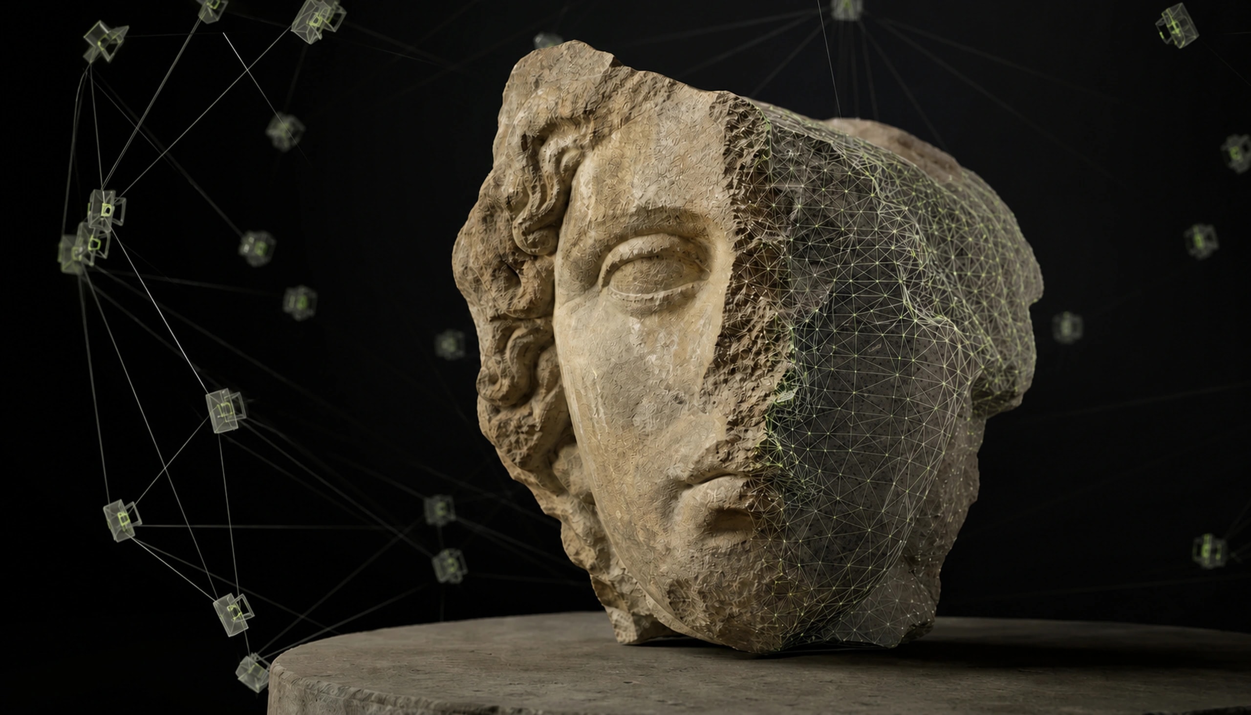
02 / Reality capture
Thousands of photos. One precise 3D reconstruction.
We reconstruct geometry and high-fidelity texture from camera-based capture, ideal for objects, artifacts, and environments where visual realism matters as much as accuracy.
Best for
Artifacts, façades, landscapes, production assets, and visually rich environments.
Typical outputs
CONCEPTUAL CAPABILITY RENDER
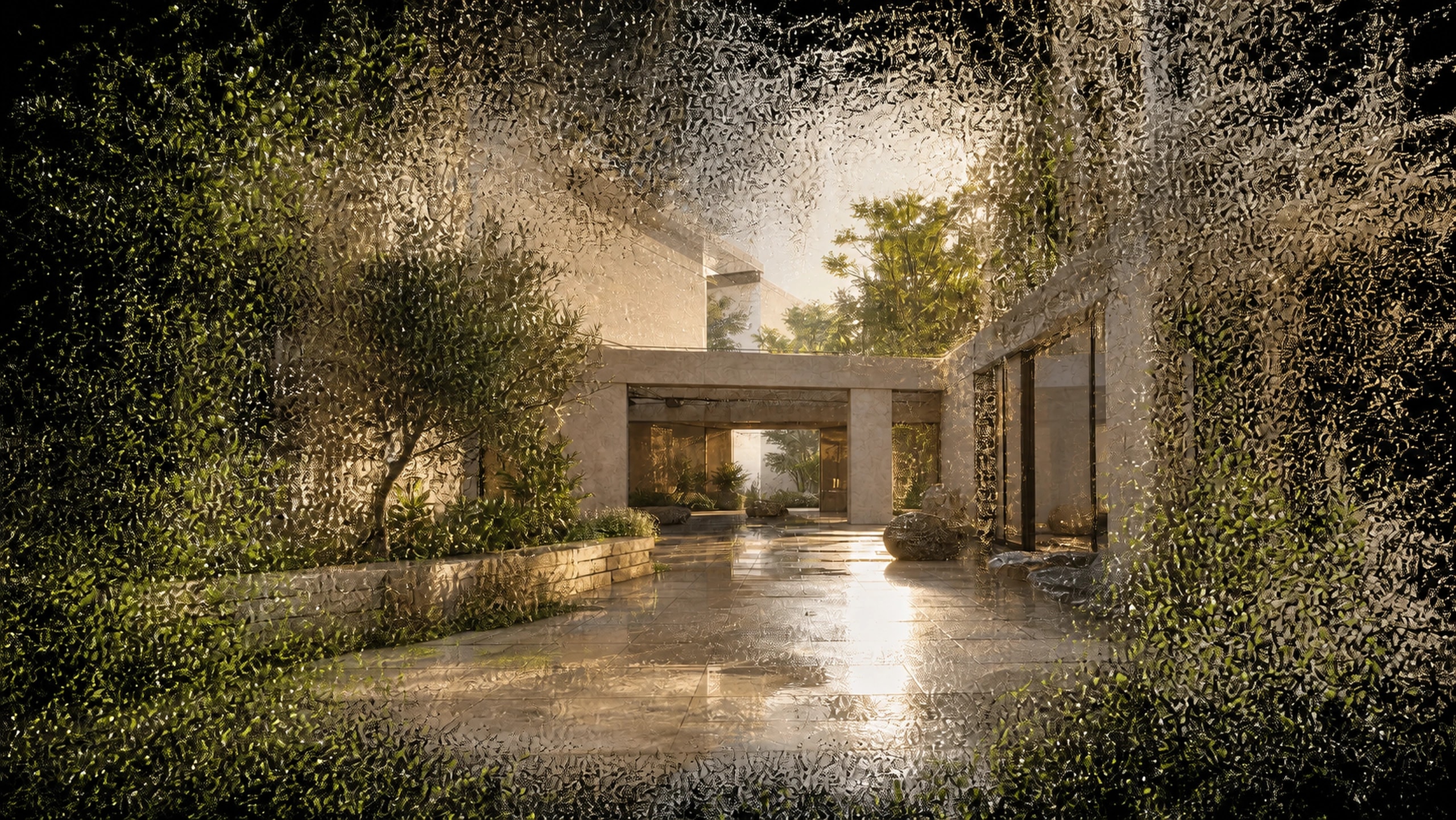
03 / Real-time capture
Real-time, photoreal 3D — no polygons required.
Next-generation radiance-field rendering that captures light, reflection, and fine detail traditional meshes miss — built for real-time, web-deployable, photoreal scenes.
Best for
Virtual scouting, property, exhibitions, remote access, and fast photoreal walkthroughs.
Typical outputs
CONCEPTUAL CAPABILITY RENDER
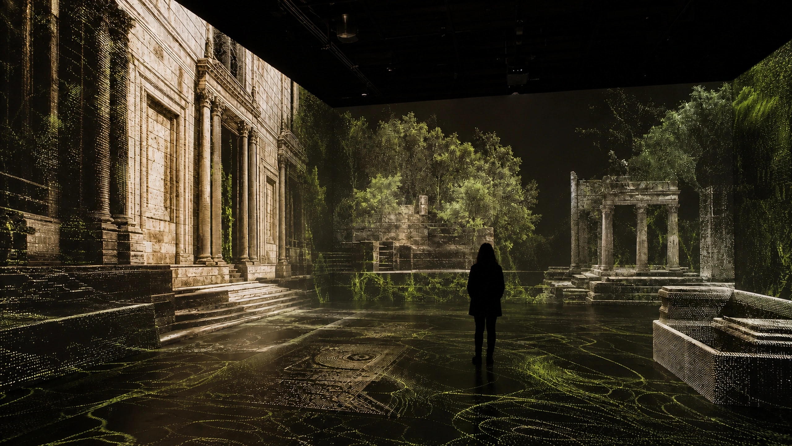
04 / Experience design
Walk through places that don't exist yet, or don't exist anymore.
Interactive, explorable 3D environments — for exhibitions, virtual tours, and storytelling — built from our scans, splats, or visualizations.
Best for
Museums, cultural spaces, brand experiences, public engagement, and education.
Typical outputs
CONCEPTUAL CAPABILITY RENDER
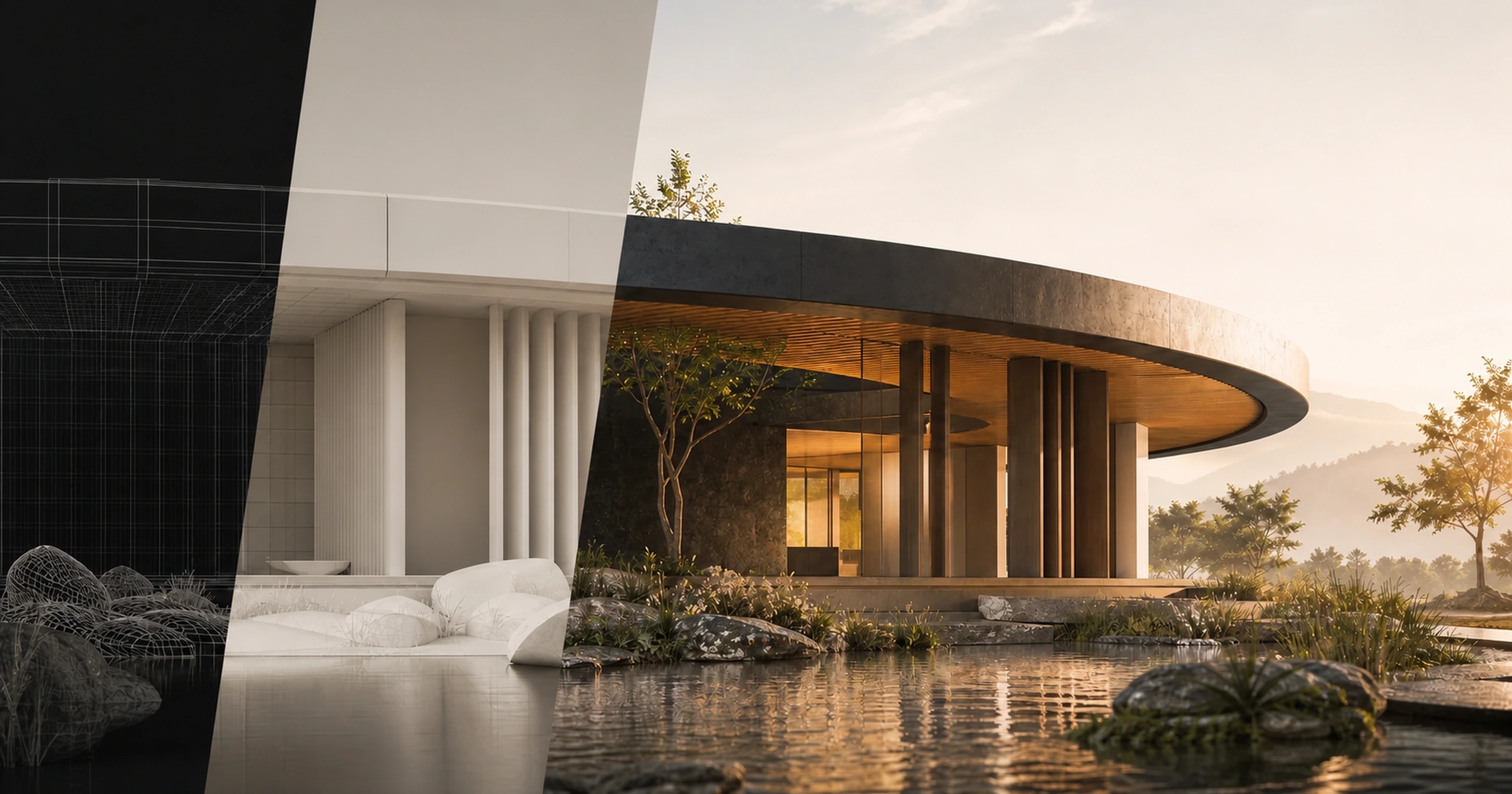
05 / Visual production
See the unbuilt, the unreachable, the in-progress.
Renders and walkthroughs for concepts, restorations, and proposals — communicating what a site or structure will (or did) look like, before or beyond what can be photographed.
Best for
Unbuilt architecture, restoration proposals, tenders, and spatial storytelling.
Typical outputs
CONCEPTUAL CAPABILITY RENDER
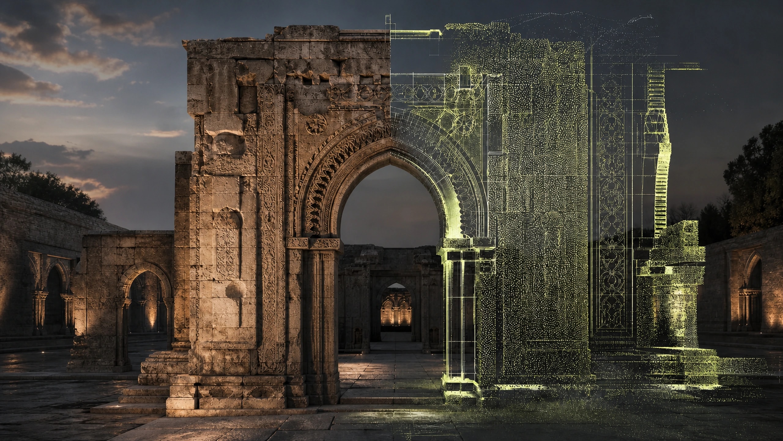
06 / Digital preservation
Sites and structures, preserved as living data.
Comprehensive digital preservation of heritage sites — combining scanning, photogrammetry, and modeling into a structured, reusable digital record for conservation, research, and education.
Best for
At-risk sites, museums, archives, conservation teams, and cultural research.
Typical outputs
CONCEPTUAL CAPABILITY RENDER
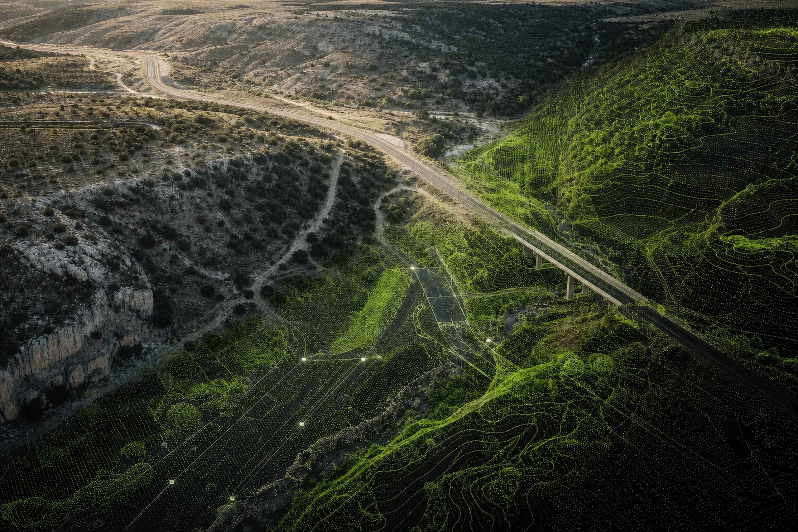
07 / Spatial survey
Ground truth, captured at scale.
Aerial and ground-based surveying for land, infrastructure, and large sites — producing accurate spatial data for planning, monitoring, and analysis.
Best for
Infrastructure, masterplanning, progress monitoring, earthworks, and site analysis.
Typical outputs
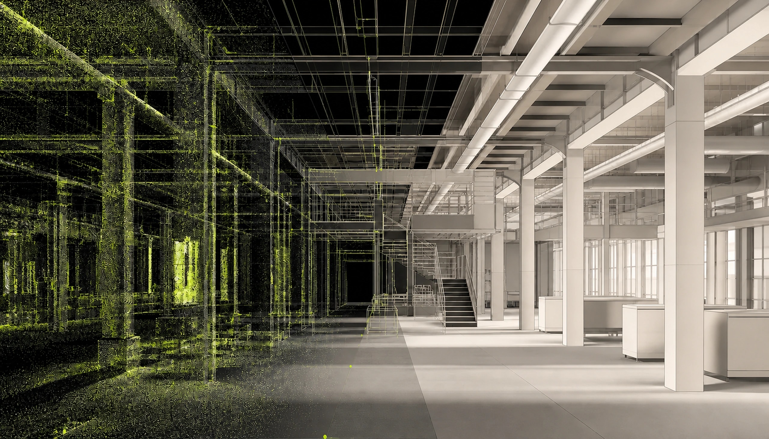
CONCEPTUAL CAPABILITY RENDER
08 / As-built intelligence
From point cloud to Revit-ready model.
We convert laser scans and photogrammetry capture into accurate, Revit-compatible BIM models — as-built documentation architects and engineers can design directly on top of.
Best for
Renovation, facilities management, architectural coordination, and complex retrofits.
Typical outputs
Selected work
2026 / PLACEHOLDER REGION
Placeholder case study — full digitisation of a heritage site for conservation planning.
2026 / PLACEHOLDER CITY
Placeholder case study — large-scale aerial survey for infrastructure planning.
2026 / PLACEHOLDER CITY
Placeholder case study — an interactive exhibition built from scanned heritage objects.
How we work
01
We begin with the decisions the final dataset or experience needs to support.
02
The right mix of LiDAR, photography, aerial, and ground-based collection.
03
Point clouds become models, twins, reconstructions, and production-ready assets.
04
Technical handoff, interactive viewer, cinematic media, or an immersive installation.
02 / SECTORS
The tools change by project. The purpose stays constant: make the physical world easier to understand, preserve, design, and share.
01
Scan-to-BIM workflows — point cloud and mesh data delivered in Revit-compatible formats for as-built documentation, renovation planning, and clash detection.
02
Digital twins of artifacts, monuments, and sites for preservation, research, and exhibition.
03
Documentation of endangered or disaster-affected sites for advocacy, funding, and long-term archival record.
04
Environment and asset capture via photogrammetry and Gaussian splatting for virtual production and real-time game-ready environments.
05
Immersive virtual tours and 3D visualization for listings and pre-construction marketing.
06
Aerial and ground-based surveying and mapping for municipal planning and infrastructure monitoring.
07
Digital twins and 3D models for academic study, training simulations, and public outreach.
Let's work together
A site, an object, a production, or an idea—we'll help define the right route from physical reality to final deliverable.